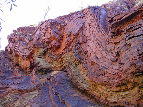
Just as evolutionist biology does, evolutionist geology also presents its mystifications -- its fictions -- as its subject matter, instead of the simple observable visible phenomena it supposedly studies. Just as we can hardly find a simple description of a new species without a thick fog of interpretation about its alleged evolutionary history obscuring the simple facts, so we can hardly find a description of a fossil find or a rock formation without its being obscured by pronouncements of its supposed age and supposed history, all interpretation, all fictive.
If it were possible to talk to the believers in evolution about creationist ideas without always having to debate, being misunderstood in the most zany ways, and being subjected to abusive namecalling and accusations, I'd just like to talk about the basic facts, the phenomena involved, the observable phenomena, completely apart from the interpretive schemes. What sort of rocks are to be found in a particular area, what sort on the surface and what sort at some depth if known, and what sort surrounding it. That would be a start to an understanding of the geology of the area. I don't want to know its "age," and I don't want to know how it supposedly got there. That's all theory, interpretation and in the end nothing but fiction. I want to know what IS there.
You can't even find a geologic map that shows this, they all label the geographic areas as "time periods" instead of observable visible phenomena.
Here's a case in point and this is an older map so not as bad as modern ones. I link it because it's nicely detailed.
It's utterly meaningless to have a section of a map set off in a boundary labelled "Jurassic" or similar designation. It's mystification, the opposite of edification. The first thing you should get from geology is an accurate picture of what actually exists, and the maps should reflect that.
I haven't even been able to find out what physical phenomena are included within the boundary lines in any consistent way. Here and there are discussions of particular rocks associated with particular "time periods" but there's no systematic treatment of the rocks as definitive of separate areas that I've been able to find. In any case that's where any geological discussion should start, it shouldn't start with the purely fictitious time periods and then later add some information about the actual geology of the place.
I don't even know if the boundary lines in any way mark off topological distinctions, altitude differences (they'd have to be rather slight differences since official topographic maps show a maximum height of around 1400 feet for Britain). What DO they mark off? Distinctive rocks? Different altitudes? Layers? What? Are layers in any sense visible in the terrain? The time periods of course suggest stratification, but I want to be able to SEE what their boundary lines are meant to describe. And isn't this what a beginning student of geology SHOULD want?
===========
Some references for future consideration:
A study of the geology of Britain written in 1878
And here's a story about creationist geologists. I'm SO glad these guys exist and are out there looking at the actual world apart from the mystifications of establishment science.


You Must Be Born Again
2 months ago